

If you are curious about what geolocation is, this is what you need to know.
Geolocation data plays a major role in our everyday lives. At any point in time, when we request applications or services to give us our location, we utilize geolocation data.
Today, more than ever before, there are countless mobile devices available. All of them use internet technologies and make locations easily accessible. As such, any business, government, or non-profit organization can leverage them.
However, there has been a lot of confusion about what geolocation data truly is and what it gets. As such, we will go over everything each user will need to know regarding geolocation data, how it works, and what it represents.
Table of Contents
What Exactly is Geolocation Data?
Geolocation data allows a specific application or device to determine the location of any person or object globally. This type of data must have a specific level of reasonable precision. However, it is also created from a signal generated by an electronic device.
The most notable and utilized mobile devices that leverage the power of geolocation data are smartphones, cars, and smartwatches. Multiple functions occur with geolocation data. Geolocation data provides the location of an object on our planet through longitude and latitude coordinates.
Geolocation data also features location information surrounding a digital piece of content. This can be a photo, social media post, or anything else we commonly do online.
Alongside this, geolocation data can supply contextual data surrounding a known location. This showcases when a specific location is open or what it has.
What is Geolocation Definition?
Geolocation is the identification of the real-world geographic locations of a specific object. Coordinates generate on a geographic scale that features latitude and longitude. GPS and coordinates collect, which results in a meaningful location.
Objects such as these can be an internet-connected device, such as a computer, phone, watch, or radar.
What Data Points Are Collected Through Geolocation?
Lots of data can be collected through geolocation. There’s the active user and device-based information, and the passive server-based lookup or data correlation information.
Through collecting both types of data, geolocation data can be cross-referenced to create the most accurate result. Alongside the GPS, geolocation data can identify or generate through an Internet Protocol (IP) address. It can also be identified through a Media Access Control (MAC) address or Radio Frequency (RF) system. There’s even Exchangeable Image File Format (EXIF) data. IPStack, for example, allows users to locate and identify website visitors by IP address. You can view the Top 10 Geocoding API Free For Pinpointing Addresses list here.
How is Geolocation Data Collected?
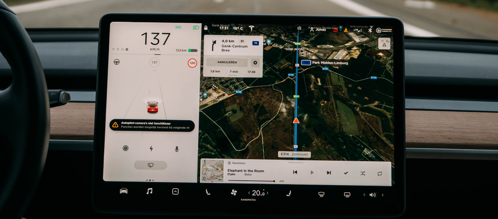
Another question that pops up in the minds of a lot of people is how geolocation data is actually collected. Let’s go over how this occurs. A Global Positioning System, or GPS for short, is one of the most common technologies used within modern smartphones. It sees usage in vehicles, watches, or anything else connected to the internet.
This works by triangulating a location signal between the device that is responsible for its emission, a ground-based station used for detection, and a satellite located in space. All of this, when combined, gives us access to accurate latitude and longitude coordinates across our devices. This even enables IP Geo Lookup.
Cellular networks can generate and access this data and, as a result, can locate people or objects. This occurs at the point in time when the user using the device in question opts in towards enabling it.
Who Collects Geolocation Data?
Most telecom carriers can also triangulate the call or data signal, as they have cellular towers. It is also a possibility to get this geolocation data at the point in time when any person gains access to the internet. An Internet Protocol address (IP Address) is assigned to a person when they connect to the internet. This has information that relates to their physical location.
When users connect to a Wireless Fidelity (WiFi) network, the network has a Service Set Identifier (SSID), which can reveal the location the person is in the vicinity of. There is also data that generates at points in time when specific things occur. Let’s go over, for example, when a person makes a transaction. Information on electronic transactions all feature geolocation data at the point in time when they occur through point-of-sale locations.
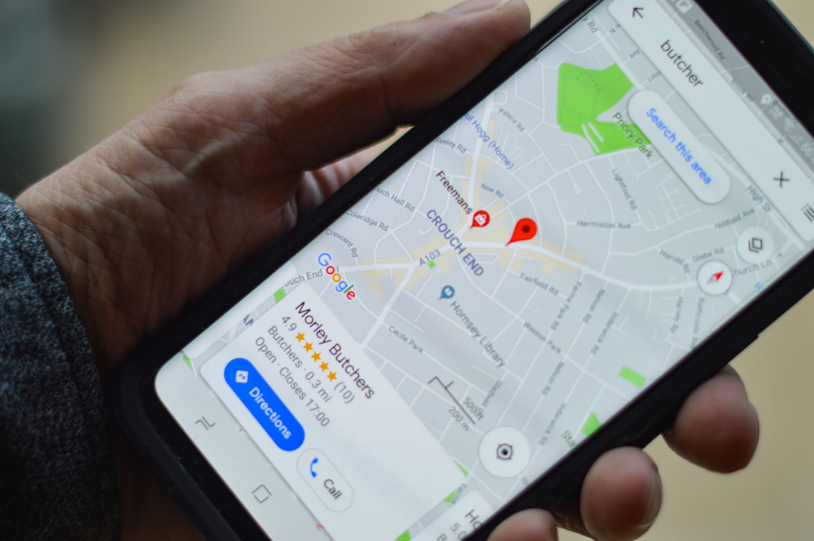
Credit card companies can access this data, and third-party payment processors or merchants can also gain it. Geo Tagging also sees usage across numerous file types. Let’s say that you take an image. This image can feature geolocation data. Furthermore, whenever you visit a location and check in at that location, it can also tie data to itself. There are numerous maps as well as mapping applications that can be sources of geolocation data.
What Is the Difference Between Latitude and Longitude?
The angle between the equatorial plane and the straight line that passes through a certain point on Earth’s surface is known as latitude. This line also travels through the Earth’s center or very near it. The longitude, on the other hand, is the location on Earth’s surface that represents the angle between a reference meridian and another meridian that passes through it.
When these two combine and become the components responsible for specifying the position of any location on the surface of the Earth. These can express in the form of decimal degrees (DD). This is how all of this works.
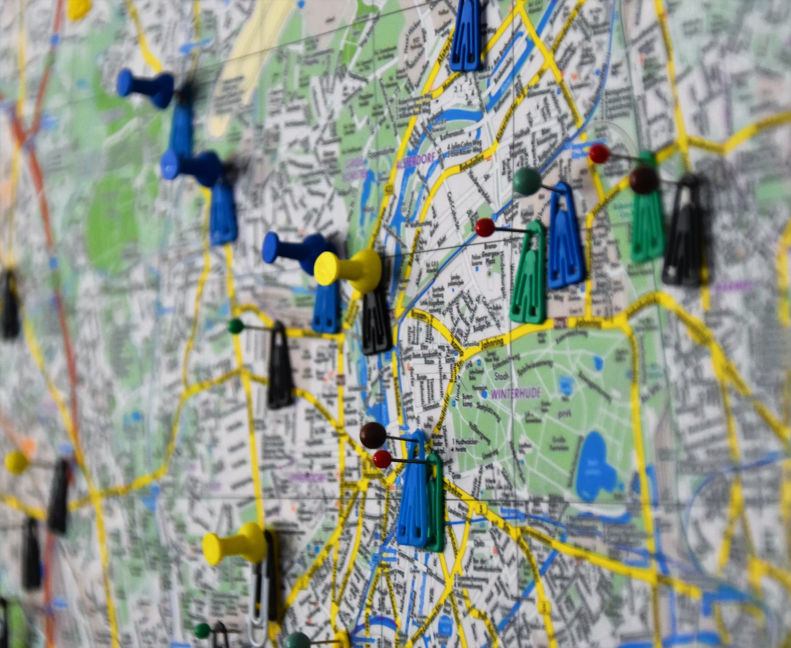
How Do Businesses Use Geolocation Data, and How Can It Help Them?
Businesses can use geolocation data in numerous ways. For one, they can enable smart navigation. This means they can create step-by-step navigation that lets their customers access physical stores and enhance the experience.
Then there’s the use-case of personalized communication. Companies can create instant alerts to promotions based on the user’s location. There’s also geographical data analysis, where they can optimize conversion by understanding their customers. All of this aids the company in finding specific data points.
What Are Some Geolocation Data Use-Case Examples That Anyone Should Know?
Geolocation sees regular usage within a multitude of different fields.
For example, you will find its usage in real estate. Here, the property can assert potential development based on the data gained through geolocation.
In retail, stores will typically pick locations and advertising strategies based on the location of their demographic. In marketing, there are measurements of the impact of a marketing campaign through foot traffic analysis.

Then there’s the use-case surrounding urban planning, where its land use and infrastructure networks. Insurance companies can evaluate the risk of a person, property, or business based on the terrain. They analyze the building’s shape, capacity, and tenant activities. Check out the geolocation data APIs available in the APILayer marketplace here.
Is Geolocation Data Here to Stay?
Geolocation serves us daily, and it will likely continue to be the case for years to come. Geolocation data is essential in our everyday activities.
Both users, as well as companies, gain a tremendous level of value from geolocation data. We can easily navigate any location, and they can easily estimate specific services or product demands.
Today, there are more ways to gain access to geolocation data, and it is up to users to figure out which way works best for them. Hopefully, now you have a much higher level of understanding as to what geolocation data is. We went over where it comes from, how much power it can provide, and how it can solve issues.
Frequently Asked Questions (FAQs)
What Is Geolocation and How Does It Work?
Geolocation sees usage in locating and following the location of electronic devices. These devices are most commonly used by people who reside nearby, and as such, the geolocated data tracks the movement of people or monitors activities.
What Is an Example of Geolocation?
The simplest geolocation example includes providing the Earth’s location through longitude and latitude coordinates.
What Is a Cell Phone Geolocation?
This device can determine itself as a location in the world through different methods. Cell phones have GPS and get used the most.
Are There Free Geolocation APIs?
There are numerous free Geolocation APIs that you can find, such as PStack, for example.